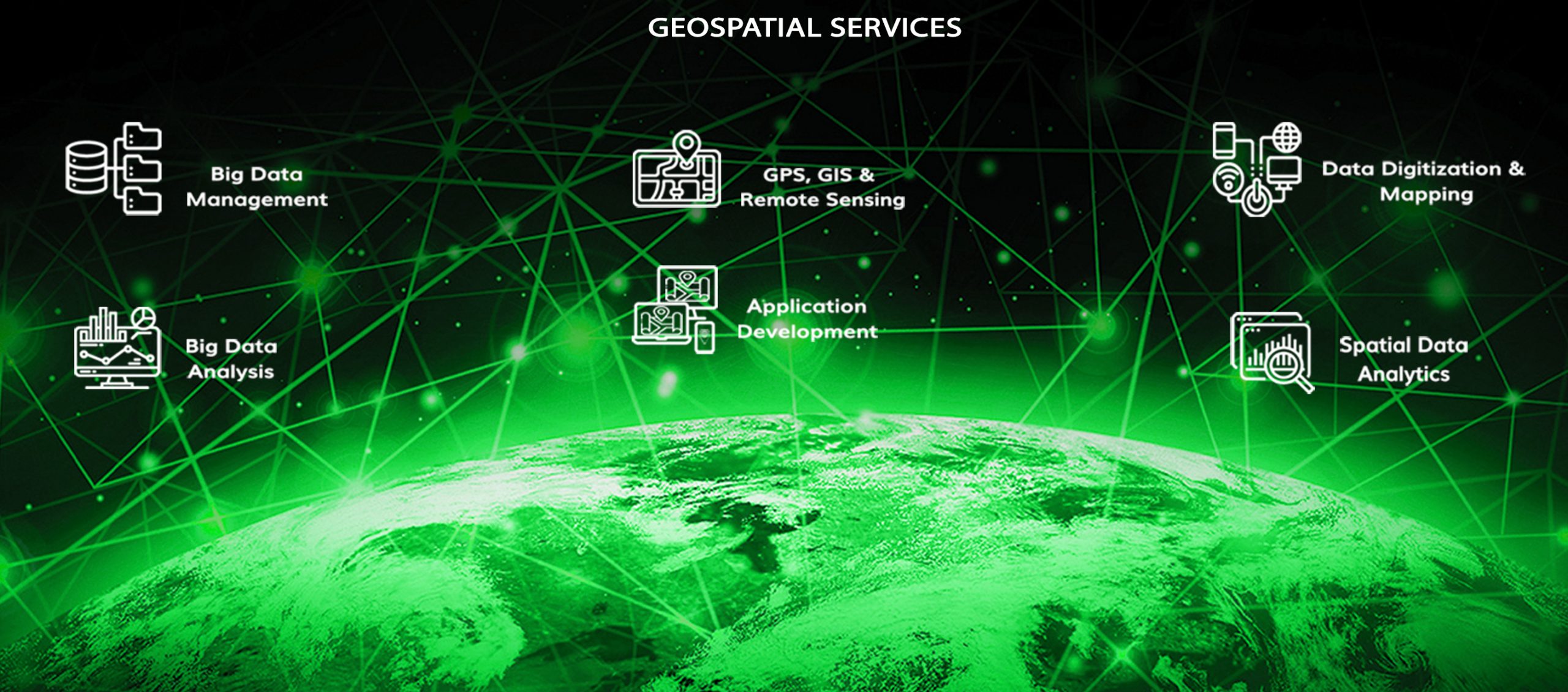
Geospatial services is a highly dynamic and increasingly sophisticated domain at the crossroads of technology, data analysis and spatial understanding. More than mere mapping technologies, these services have progressed quite a long way to become complex systems that give deep insights across industries, revolutionising how organisations perceive, analyse, and act on spatial data. Geospatial services have emerged as an essential tool for decision-makers across various fields, including urban planning and environmental management, resource exploration, and infrastructure development, facilitating informed and intelligent spatial comprehension. The Evolution of Geospatial Services: Beyond Traditional Mapping In the…
Read MoreFriday, January 2, 2026
Recent posts
- Building Community-Led Growth Models for B2B SaaS Companies
- The Unsung Hero of Growth: How Customer Support Drives Product-Led Success
- Building and Scaling a Proactive Customer Education Strategy to Reduce Inbound Tickets
- Implementing Ethical and Transparent Sales Practices for Gen Z Consumers
- The Future of Sales Compensation: Rewiring Incentives for a Hybrid & Gig World

